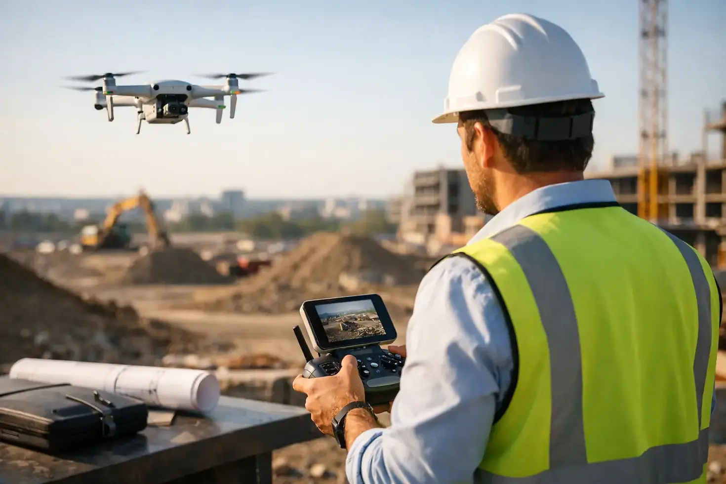
Drone Imaging for Project Managers
A superintendent says the site is on schedule. The owner wants proof. The client wants a clean update they can understand in 30 seconds. That is where drone imaging for project managers becomes more than a nice visual add-on. It becomes a practical way to see the full site, document progress clearly, and communicate with fewer blind spots.
For active projects, ground-level photos only tell part of the story. They miss scale, access patterns, staging changes, roof work, grading progress, and the relationship between one area of the site and another. Aerial imaging gives project managers a higher, more complete view, which makes it easier to track what is happening and explain it to the people who need answers.
Why drone imaging for project managers works
Project managers are expected to keep schedules moving, coordinate teams, control risk, and report status clearly. That is difficult when site visibility depends on scattered phone photos, field notes, and updates filtered through multiple people. Drone imaging adds consistency to that process.
Aerial photos and video show the full footprint of a project in a way that is immediate and easy to read. You can spot material placement, equipment movement, traffic flow, site access issues, and broad progress across multiple work zones. Instead of piecing together separate views, you get one visual record that supports faster decisions.
That matters because many project problems are not hidden in the details. They are hidden in the layout. A staging area starts creeping into a critical access path. Drainage work begins to affect another trade's operating area. Exterior progress looks further along in conversation than it does in the field. Drone coverage helps close that gap between reported progress and visible progress.
Better site visibility without more site walks
Most project managers do not have extra time to walk every corner of a property, especially on large sites or multi-phase developments. Even when they do, ground observation is limited by angle, distance, weather, and active work zones. Drone imaging gives a safer and more efficient way to review conditions from above.
This is especially useful on projects where site scale changes the management challenge. Industrial facilities, commercial builds, land development, roofing projects, utility work, and infrastructure improvements all benefit from overhead perspective. From the air, it is easier to verify how different parts of the site connect and whether activity in one area is affecting another.
That does not mean aerial imaging replaces in-person oversight. It supports it. A drone will not tell you why a delay happened or whether a detail was installed to spec. What it can do is show where attention is needed, where progress is measurable, and where communication would benefit from a clearer visual record.
Progress tracking that clients and stakeholders can actually read
One of the biggest advantages of drone imaging for project managers is how quickly it improves reporting. Many status reports are technically accurate but visually weak. They rely on written updates that make sense to the internal team but not to owners, investors, boards, or outside stakeholders.
Aerial imagery makes progress easier to understand at a glance. When captured consistently over time, it creates a clean visual timeline of the project. That helps when you need to show milestone completion, compare phases, validate work in place, or demonstrate how a site has changed month to month.
For client-facing communication, this matters a great deal. People respond faster to visuals than to paragraphs of explanation. A well-composed aerial image can show framing progress, parking layout, roof status, grading changes, or site readiness in a single frame. Video can add even more context when movement, access, or site scale needs to be explained.
There is also a professionalism factor. Polished aerial documentation gives reports a more credible, organized presentation. It shows that progress is being tracked with precision, not just described after the fact.
Where aerial imaging adds the most value
Not every project needs the same flight schedule or the same deliverables. The right approach depends on project type, site complexity, and who will use the final assets. Still, there are common points in the project lifecycle where drone imaging delivers strong value.
Pre-construction coverage helps establish baseline conditions. This can support planning, stakeholder communication, and before-and-after comparisons later in the job. During active construction, regular flights create a reliable visual record of site evolution. At project closeout, final aerial imagery helps document completion and supports presentation, marketing, and portfolio use.
Some teams mainly need still photography for reporting. Others benefit from short video sequences that show circulation, perimeter work, exterior progress, or overall site readiness. In some cases, the most useful asset is not the most cinematic one. A simple, well-framed overhead image captured at the right interval can be more useful than a long, dramatic video clip.
That is why the service provider matters. Project managers usually do not need generic drone footage. They need imaging that is planned around project communication, documentation value, and consistent capture.
What project managers should expect from a drone imaging partner
The best aerial media support is not just about flying a drone well. It is about understanding what the project team needs to see, when they need to see it, and how the visuals will be used afterward.
A capable provider should deliver clear, stable, high-resolution imagery with framing that supports documentation, not just aesthetics. Consistency is critical. If monthly or milestone-based imaging is part of the plan, camera positions, altitude choices, and site coverage should be intentional enough to make comparisons useful over time.
Reliability also matters. Project schedules move fast, and the value of aerial documentation drops when capture is delayed or incomplete. A dependable provider understands timing, site coordination, and the need to work efficiently around active operations.
Local knowledge can be a practical advantage as well. For North Alabama projects, a local drone media company can often respond more efficiently, understand the region's project mix, and provide service with less friction than an out-of-area vendor. For businesses that need both documentation and polished visual assets, PRB Media LLC approaches aerial coverage with that balance in mind - precision imaging that is usable for reporting, operations, and presentation.
Trade-offs to keep in mind
Drone imaging is useful, but it works best when expectations are realistic. Weather can affect scheduling. Flight timing can influence how useful the imagery is, especially on fast-moving sites. And if the project team does not have a clear plan for how visuals will be used, even strong footage can end up sitting in a folder instead of helping decisions.
There is also a difference between occasional capture and a documented imaging strategy. A one-time flight can be helpful for marketing or a special update. But if your goal is progress tracking, recurring coverage usually delivers far more value. Consistency is what turns visual content into a management tool.
Another factor is scope. Some projects benefit from broad overhead context. Others need closer attention on specific zones, like roof installation, façade progress, stockpile movement, stormwater work, or utility trenching. The more clearly that need is defined upfront, the better the final imagery will serve the project.
Using drone imaging as part of project communication
The strongest use of aerial media is not as a standalone product. It is as part of a communication system. When project managers pair drone imagery with schedule updates, milestone reviews, owner reports, and internal coordination, the result is clearer alignment across the board.
Teams in the field can reference current visuals when discussing sequencing and access. Executives can review site status without depending entirely on secondhand descriptions. Clients can see tangible progress without needing technical interpretation on every point. Marketing teams can even use finished imagery later, provided the original capture was done with quality in mind.
That range of use is what makes drone imaging a smart investment for many project-based businesses. One set of aerial assets can support operations, reporting, business development, and final presentation. The key is capturing with purpose.
Focus from above, with useful results on the ground
Project managers do not need more content for content's sake. They need clear visuals that reduce uncertainty, strengthen reporting, and show the real condition of a site. Drone imaging does that best when it is handled with precision, consistency, and a practical understanding of how projects are managed.
If your team is juggling progress updates, stakeholder expectations, and limited visibility across a changing site, an aerial view can bring the picture into focus. The right imagery will not replace experience in the field, but it can make every update sharper, every report clearer, and every conversation easier to move forward.


Comments