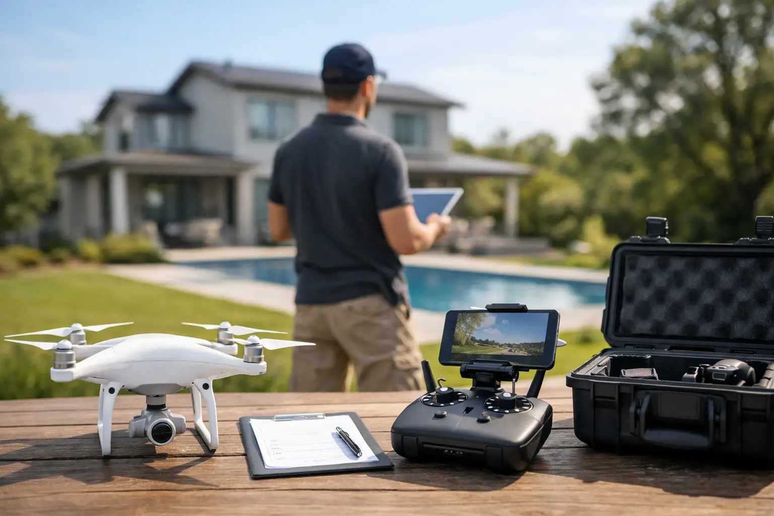
A Property Drone Shoot Preparation Guide
Aerial media works best when the site is ready before the aircraft arrives. This property drone shoot preparation guide helps property owners, contractors, developers, and project managers prepare for photos or video that clearly show scale, condition, progress, and visual impact. A little coordination before the shoot protects the schedule and produces imagery that is more useful for marketing, reporting, and stakeholder communication.
Start With the Purpose of the Shoot
The first decision is not where the drone will fly. It is what the finished media needs to accomplish.
A commercial property listing may need wide establishing views, building elevations, parking access, nearby roads, and the surrounding area. A construction progress shoot may need consistent angles that document completed work, active work zones, material staging, and site changes over time. A land development project may need to show acreage, drainage features, access points, utilities, terrain, and proximity to key corridors.
Define the intended use before the shoot. Ask whether the assets will support a proposal, investor update, project report, website, social campaign, listing package, or internal review. That answer determines the right mix of still photography, video, close detail views, and wide overhead perspectives.
If your team needs repeatable progress documentation, identify the viewpoints that should be captured at every visit. Consistent framing makes change easy to see and creates a stronger visual record than a collection of unrelated images.
Confirm Access and Site Contacts
A drone operator can work efficiently only when access is clear. Before the scheduled arrival, confirm the correct property address, gate instructions, parking location, site entry requirements, and the best place to meet. Large properties often have multiple entrances, and a GPS pin alone may lead to the wrong gate or an inaccessible service road.
Provide one primary on-site contact who can answer questions and make decisions if conditions change. That person should know the shoot schedule and be able to coordinate access with security, tenants, superintendents, or facility staff.
For active construction sites, communicate any required personal protective equipment and site orientation procedures in advance. Hard hats, high-visibility vests, safety glasses, boots, and check-in procedures vary by project. Sharing those requirements early avoids delays and ensures the flight team can operate within site rules.
It also helps to identify restricted areas. This may include active equipment zones, hazardous material areas, utility work, secured facilities, or locations where employees and visitors should not be filmed. Precision aerial imaging depends on clear operational boundaries as much as camera skill.
Prepare the Property for the Camera
Drone imagery reveals the full site. That is the advantage, but it also means details that are easy to overlook from the ground can stand out from above.
Walk the property with the intended camera views in mind. Remove temporary clutter where practical, including loose pallets, trash, unused cones, idle equipment, or vehicles that block important building fronts and access areas. Straighten signage, secure gates, and make sure the areas you want featured are accessible and presentable.
For commercial properties, consider how parking areas will look at the selected time. A full lot can communicate activity and demand, while an empty lot may better show circulation, striping, and building access. Neither is automatically better. The right choice depends on whether the goal is to show operational activity or the physical layout.
On construction projects, do not overstage the site. Work in progress should look like work in progress. The goal is a clear, credible record of progress, not an artificial scene. A few practical adjustments, such as moving a truck away from a key elevation or organizing a highly visible staging area, can improve the final result without changing the reality of the project.
Schedule for Light, Weather, and Site Activity
Timing has a direct effect on both visual quality and operational safety. Bright midday sun can produce strong shadows and flat-looking exterior images. Early morning or later afternoon often creates more dimensional light, especially for building exteriors, land, and promotional video.
That does not mean every shoot belongs near sunset. A progress documentation assignment may benefit more from a consistent daytime schedule than from dramatic light. If the objective is accurate comparison from month to month, use similar flight times and viewing angles whenever possible.
Weather matters beyond rain. Wind can affect flight conditions and video smoothness. Low clouds, haze, fog, and changing light can limit the visibility needed to show a large site clearly. North Alabama weather can shift quickly, so leave room in the schedule for a weather hold or a backup date when the assignment is time-sensitive.
Coordinate around project activity as well. If concrete is being poured, cranes are operating, roofing work is underway, or a major delivery is scheduled, decide whether that activity should be featured or avoided. Active operations can add valuable context to a project update, but they may also limit access or make a specific area unsuitable for filming at that time.
Address Airspace and Safety Early
Professional drone operations require more than showing up with equipment. Airspace, nearby airports, temporary flight restrictions, weather, and site conditions all affect whether a planned flight can proceed. Aerial media should never be promised around a specific angle, altitude, or flight path until the operational conditions are reviewed.
Share any information that may affect the area, including nearby helipads, hospitals, airports, utility infrastructure, government facilities, or planned public events. The drone provider can evaluate the location and determine what approvals, restrictions, or adjustments may apply.
Keep the launch and landing area clear of unnecessary foot traffic, vehicles, and loose materials. Construction sites deserve additional care because cranes, tall equipment, power lines, changing layouts, and active crews introduce variables that are not visible on a map. The safest plan is often the most efficient one because it reduces interruptions and uncertainty on site.
Personnel should also know when filming is taking place. A simple notice to crews or tenants helps prevent people from walking into the operating area and gives anyone with a concern a clear point of contact.
Plan the Views That Matter Most
A good aerial assignment does not need every possible angle. It needs the right angles.
Before the shoot, identify the visual priorities. For a building, that may include the front elevation, roof condition, loading areas, parking, ingress and egress, and the relationship to nearby roads or businesses. For land, it may include boundaries, topography, clearing progress, waterways, access routes, and adjoining development. For infrastructure or industrial work, the priority may be equipment placement, corridor progress, safety separation, and completed versus active areas.
If there are specific features that must be visible, point them out before flight operations begin. Examples include a newly installed rooftop unit, drainage pond, retaining wall, signage package, solar installation, or a particular phase of construction. This reduces guesswork and makes sure the final files support the people who will actually use them.
Video requires an additional layer of planning. Short, intentional movements generally create stronger results than long, random passes. Consider what viewers need to understand in the first few seconds: the location, the scale, the building, the work completed, or the progress across the site.
Organize the Right People and Information
The best preparation is often a brief, clear pre-shoot message. Include the property address, contact name and phone number, access instructions, requested arrival time, site safety requirements, project purpose, and any must-capture areas. If a location has multiple phases or buildings, use plain labels so everyone refers to the same places.
For recurring documentation, establish a naming convention for project phases and dates. Organized files are easier to find when a stakeholder asks for a specific month, elevation, or work area six months later. Aerial content becomes more valuable when it functions as a usable visual record rather than a folder of unmarked images.
PRB Media LLC approaches each assignment with that practical standard: focus from above, with imagery built for clear presentation and reliable documentation.
A prepared property gives aerial media room to do its job. When the site is accessible, safe, camera-ready, and aligned with a clear purpose, the finished photos and video can communicate far more than a view from the ground.


Comments